Solution d’aide au pilotage pour faciliter la coopération
entre agriculteurs et filières agricoles
Encadrement technique des producteurs
Pourquoi choisir FieldSim ?
Accessibles à tous
Outils simples d’utilisation,
ergonomiques & intuitifs
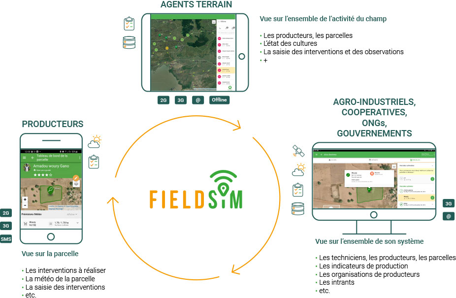
Applications simples, données de pilotage disponibles en temps-réel et faciles à comprendre
- Mise à disposition de tableaux de bord Business Intelligence pour piloter certaines données clés et gagner en performance
- Remontée d’informations terrains et accès aux données par simple SMS
Déployées en SaaS
Accessibles 24h/24 et 7j/7 pour une communication en temps réel
Données centralisées, géoréférencées, fiables et à jour
- Données accessibles depuis le web ou l’application mobile/tablette
- Représentées sur différentes cartes ou différents tableaux de bord pour une consultation des données et des graphiques en temps réel, le téléchargement des rapports et la réalisation des analyses.
Collaboratives
Adaptées à tout type d’organisation (agro-industriels, coopératives, fédérations, ONG, gouvernements…) et valorisées sur le terrain
Données disponibles en fonction de chaque profil
- Les agents de vulgarisation peuvent accéder à toutes les informations sur leurs groupes d’agriculteurs et modifier les données.
- Tous les utilisateurs peuvent rechercher, filtrer, télécharger et modifier les données en fonction de leurs privilèges d’accès.
- Communication entre les différents acteurs
100% connectées
Mode connecté/déconnecté
pour tout type de réseaux :
2G / 3G / 4G / Wifi
Application mobile ou tablette
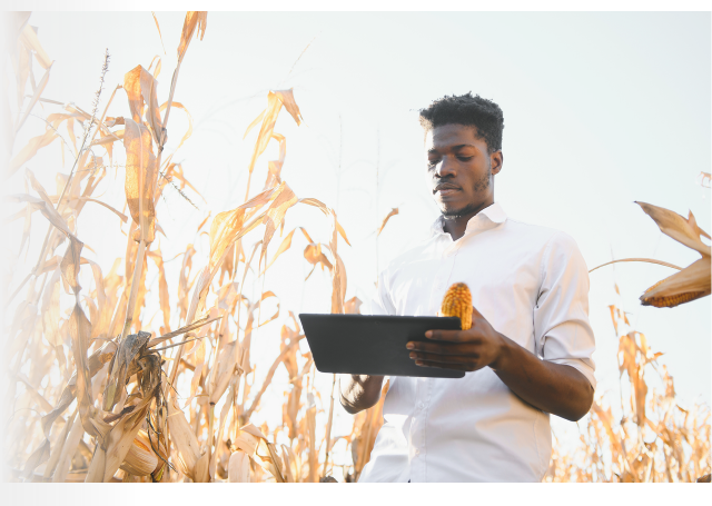
Les agents peuvent saisir les données (producteur, géolocalisation des parcelles, pratiques culturales, …) directement sur l’application avec ou sans connexion internet
Témoignage
Advice
Ragoudwa OTIENO
« Je peux plus facilement communiquer avec les agriculteurs et leur fournir des recommandations en temps réel, pendant la saison. L’application m’aide à mettre en place des méthodes de conduite personnalisées tout en atteignant plus d’agriculteurs, plus efficacement »
Ragoudwa OTIENO
« I can more easily communicate with farmers and provide real-time recommendations throughout the season. The app helps me implement customized driving methods while reaching more farmers, more efficiently. »


